Blog Categories
Most popular blog posts
Like this Blog
Latest blog posts
Latest blog comments
Most active Bloggers
Categories
|
|
by Linus
13.11.2014 06:52
|
|
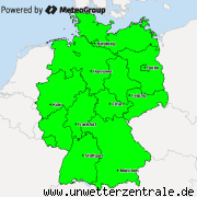
Dark red: Extreme storm warning (to occurr within 24hours)
Red: Storm warnings (within 24 hours)
Yellow: Storm watch (within 48 hours)

|
|
by Linus
22.10.2014 06:29
|
|
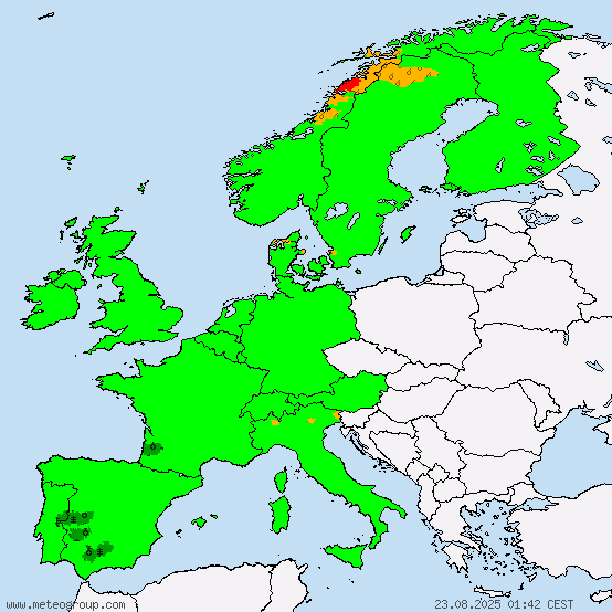
Currently, there is a lot of snow coming down in Austria

|
|
by Alexis
15.10.2014 11:17
|
|
Currently in the north west part of croatia
|
|
by Linus
13.10.2014 07:14
|
|
In the far N of NW Italy, extreme rain is occurring. Around 100l/m² in 24 hours are expected.
Cities affected by the highest warning level include:
- Domodossola
- Novara
The map below will update automatically.

|
|
by Linus
11.10.2014 21:36
|
|
The MILK ESC (European Storm Center) has issued new warnings and watches.

|
|
by Linus
11.10.2014 20:20
|
|
Extreme rain is occurring in S France causing flooding. Please be very careful.

|
|
by Linus
10.10.2014 23:31
|
|
In a band from SW to NE Germany, tomorrow extreme rainfall is expected. Flooding is likely to occur in certain locations. Please be especially careful when driving. The risky weather system will move into Germany in Baden-Würtemberg, and move NE. At around 09:00, Berlin will fall come into the area of the most intense ürecipitation. The far NE of Germany, including Berlin, are the regions that are most in danger to this weather phenomenom, as the rain system will be stationary for about 3 hours there. Please be very careful and prepare for flooding.
|
|
by Linus
01.10.2014 11:28
|
|
This is a warning that is not directly related to the MILK ESC project. To go to the ESC project, click on the title of this warning.
Today the strongest storm gusts are forecast for Iceland, reaching peaks of up to 94km/h. However, Greenland will be affected by (weaker) storm gusts as well.
In the Iberian peninsula temperatures are expected to rise to warning relevant levels, the highest temperatures expected today are 32.5C locally in Spain. Note that in the microclimate of certain cities the temperatures might further increase.
In greenland temperatures are forecast to locally drop to -18.5C. Please note that in localities which are located lower than the rest of the terrain, significantly lower values can be registered.
In Spain and Italy, intense humidity in combination with high temperatures are forecast.
In Greenland, severe amounts of snow are predicted to fall in the coming 24 hours. In Danmarkshaven, 23cm are forecast. Also in Iceland, significant amounts of snow will fall.
In Norway and Russia, there will be ice rain locally.
|
|
by Linus
14.09.2014 08:47
|
|

|
|
by Linus
13.09.2014 21:59
|
|
Kalmaegi Peak gusts and saffir-sipson-scale prediction
Currently: 145km/h, Category 1
in 12 hours: 169km/h, Category 1
in 24 hours: landfall in Phillipines, 193km/h, Category 2
in 36 hours: 145km/h, Category 1
in 48 hours: 161km/h, Category 1
|
|
by Linus
04.08.2014 09:25
|
|
Directly NW of Zwettl, a hail thunderstorm has been located. Please be very careful there.
Moving: E
The warning of a hail thunderstorm N of Melk has now been cancelled.
|
|
by Linus
04.08.2014 09:20
|
|
A thunderstorm with hail has formed N of Melk. The W core is the core where hail has been reported. Please be very careful in the thunderstorm N of Melk.
This thunderstorm has formed within 15 minutes .
|
|
by Linus
03.08.2014 07:20
|
|
EARLY WARNING
regarding SEVERE THUNDERSTORMS
for Berlin, Kleinmachnow, Potsdam and bordering regions
Valid from: 3.8.2014, 12:00 [however thunderstorms are possible earlier]
until: 4.8.2014, 00:00 [however thunderstorms are expected later]
Issued by M.I.L.K. weather
on the: 3.8.2014
at: 07:15
---------------------------------------------------------------------------------------------------------------------------------------
Today thunderstorms will develop especially in the afternoon, however thunderstorm formation cannot be ruled out before the time span of this warning. The thunderstorms are likely to affect the entire region this warning is issued for.
Conditions in the thunderstorms:
- Rain between 25 and 60mm [1mm = 1 liter per sq. meter], possibly 80mm
- Hail is exceptionally likely in these thunderstorms, with diaters expected aroun 3cm [major hail]
- Storm gusts of around 75km/h, possibly more are likely. [1km/h = 1.6mph]
Threats due to the thunderstorms:
- lightning strikes
- uprooted trees
- falling branches
- falling roof shingles
- falling objects
- flooding of cellars
- flooding of streets
- flooding of rivers
- landslides
Safety measures:
- Close all windows
- close all doors
- keep away from all tall structures and objects
- stay inside
------------------------------------------------------------------------------------------------------------------------------------
Please do note that forecasting thunderstorms is extremely hard even with todays meteorological systems.
--------------------------------------------------------------------------------------------------------------------------------------
Linus Höller, Weather station 10001 [Berlin Steglitz] for M.I.L.K. weather.
Information for MILK weather stations:
Following stations are affected by the thunderstorms
10001 – Berlin Steglitz
10002 – Berlin Wilmersdorf
10014 – Kleinmachnow
10015 – Potsdam
|
|