
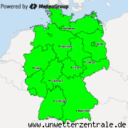
Over the course of the day, showers and thunderstorms will form and move across the region with the highest warning level from the southwest towards the northeast. The air there today will be heated quite substantially (up to 31°C) and the humidity is predicted to remain high. Further, the air will be increasingly unstable. Therefore, there is significant potential for thunderstorms and the risk of these to become severe.
Main risks in today’s thunderstorms are flash flooding and hail, possibly with a diameter of up to 4cm in severe thunderstorms. To a lesser extent, storm gusts are possible at the leading edge of larger thunderstorm complexes. The possibility of a tornado in exceptionally well-structured thunderstorms cannot be ruled out completely, either.
Stay inside, close all windows and doors. Secure loose objects on balconies / in gardens. Prepare for possible damages and power outages. Unplug electronic devices. If possible, take measures against flash flooding.

M.I.L.K. Storm Chasers
Global Weather- and Storm Chasing CommunityX
Replies: 0 • Hits: 1.264
2016.05.29 - Convective Forecast
![]() #1 by
Linus
, Sun May 29, 2016 9:39 am
#1 by
Linus
, Sun May 29, 2016 9:39 am
Linus H - President of M.I.L.K. weather 
- Linus

-
Posts: 2.140 Points: 1.549 Date registered 04.09.2012
Replies: 0 • Hits: 1.264
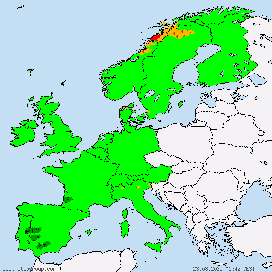
Current warnings


© M.I.L.K. 2017
M.I.L.K. - Meteorology: Information. Learning. Knowledge.
