
Sturmserie: Sturm „Mike“ hat am Montag die Region kräftig durch gewirbelt. Schon am Sonntag hat der Sturm begonnen, und in der Nacht wurde er dann mit Durchzug der Kaltfront am stärksten – in Potsdam wurden Windspitzen von 101km/h registriert. Unter anderem gab es massive Verspätungen im Zugverkehr, Straßen wurden durch Bäume blockiert, Baugerüste stürzten ein und in Düsseldorf wurden sogar Autos unter einer Mauer begraben. Aber neuesten Vorhersagen zufolge war das erst der Anfang – denn am Dienstag soll der Orkan „Niklas“ treffen, und dabei soll es erst so richtig losgehen.
Dienstag, 31.03. – Am Dienstag wird es weiterhin viel und STARK REGNEN, am Nachmittag erneut in Form von STARKEN SCHAUERN. Mit 2 bis 8°C wird es auch am Dienstag noch kühl bleiben. Der Wind wird mäßig bis stark sein und in der Früh aus Süden, später Westen kommen. Dabei kann es besonders am Nachmittag ORKANBÖEN bis 120km/h geben.
ZUSAMMENFASSUNG: STARKER REGEN bei 2 bis 8°C und ORKANBÖEN aus W bis 120km/h.
Mittwoch, 01.04. – Niederschläge, meist als SCHNEE, sind die meiste Zeit zu erwarten. Mit 2 bis 7°C weiterhin kühl. Der Wind wird mäßig bis stark aus westlichen Richtungen wehen, dabei kann es immer noch STURMBÖEN um 80km/h geben. Ab Mittag sind zudem GEWITTER möglich.
ZUSAMMENFASSUNG: SCHNEE und GEWITTER bei 2 bis 7°C und STURMBÖEN bis 80km/h aus W.
Geschrieben am 30.03.2015 um 21:10 MESZ (Lokalzeit), 19:10 UTC
---------------------------------------------- ENGLISH VERSION ----------------------------------------------
Storm series: Storm “Mike” turned the region upside-down on Monday. The storm already began on Sunday, in the night it was strongest with the passage of the cold front – in Potsdam, wind peaks of 101km/h were registered. Amongst the affects were massive delays of the train connections, streets were blocked by trees, scaffolding crashed and in Düsseldorf a wall collapsed onto cars. But based on the newest forecasts this was just the beginning – on Tuesday the “Orkan” (severe storm) “Niklas” will strike, and then it is only supposed to really start.
Tuesday, 31.03. - On Tuesday there will still be a lot of and STRONG RAIN, in the afternoonagain in the shape of STRONG SHOWERS. With 2 to 8°C it will remain cool on Tuesday, too. The wind will be moderate to strong and come from the south in the morning, later from the west. Especially in the afternoon HURRICANE-FORCED GUSTS up to 120km/h are possible.
OVERVIEW: STRONG RAIN at 2 to 8°C and HURRICANE-FORCED GUSTS from the W up to 120km/h.
Wednesday, 01.04. -Precipitation, mainly in the shape of SNOW, are to be expected most of the time. With 2 to 8°C still cool. The wind will be moderate to strong and come from westerly directions, there can still be STORM GUSTS around 80km/h. From noon on, THUNDERSTORMS are possible.
OVERVIEW: SNOW and THUNDERSTORMS at 2 to 7°C and STORM GUSTS until 80km/h from the W.
Written on the 30.03.2015 at 21:10 CEST (local time), 19:10 UTC

M.I.L.K. Storm Chasers
Global Weather- and Storm Chasing CommunityX
Replies: 0 • Hits: 892
2015.03.31 - Forecast for Berlin
![]() #1 by
Linus
, Tue Mar 31, 2015 6:55 am
#1 by
Linus
, Tue Mar 31, 2015 6:55 am
Linus Höller - President of M.I.L.K. weather 
- Linus

-
Posts: 2.140 Points: 1.549 Date registered 04.09.2012
Replies: 0 • Hits: 892
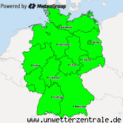
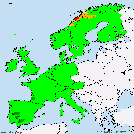
Current warnings


© M.I.L.K. 2017
M.I.L.K. - Meteorology: Information. Learning. Knowledge.
