
M.I.L.K. Storm Chasers
Global Weather- and Storm Chasing Community
Frontal Thunderstorms
Frontal thunderstorms that occur in relation to cold fronts can be found along the leading edge of a cold air mass that pushes away and up (converges) the warm air mass in front of it. The line where these two air masses hit each other is called a cold front. Most of the frontal thunderstorms are associated with cold fronts. This type of thunderstorm can occur in any season, mainly however occur in summer.
The troposphere is the layer of the atmosphere, where all the weather occurs. The tropopause is the level above the troposphere, where the troposphere ends and the stratosphere begins. high pressure areas usually bring dry, sunny, and very warm weather to (central) Europe in summer. if the colder air masses related to a cold front move under the warmer air of the high pressure area, this is a perfect situation for cold frontal thunderstorms to form. The cold front forces the warmer, and therefore lighter, air to rise (forced lifting).
Other than heat thunderstorms, cold frontal, or frontal thunderstorms in general, lead to a change in the weather. Cold frontal thunderstorms lead to a quick and intense change of weather. In central Europe, the strongest thunderstorms form, when Mediterranean air masses (which are hot and moist) are replaced by polar air masses (which are cold).
Cold frontal thunderstorms can be easily noticed a long time before the front passes, if you know about the signs that signalize that a cold front will soon be moving through.
The first sign that a cold front is on the way are the high-altitude cirrus (ci) clouds. This is followed by the formation of horizontal rows of cumulus (cu) clouds. In central Europe, these clouds always move from the W or the NW. A sign that a cold front is intense, is that the clouds quickly increase in number and thickness. The sky turns darker towards the west, even though there are no clear structures visible yet. Sometimes a horizontal "dam" of clouds forms below a sky covered completely in high clouds (cirrostratus, cs, or cirrus, ci, or cirrocumulus, cc). That is a gust front, which marks where the warm and the cold air masses clash.
Under the gust front, severe storm gusts are to be expected.
Behind the gust front, the precipitation of the thunderstorm becomes visible. Latest at that time you have to seek the safety of a building! Most of the lightning of frontal thunderstorms occurs within the precipitation area behind the gust front. But there is also lightning that can strike several kilometers in front of the gust front! That lightning is especially dangerous because it strikes where the has been no precipitation yet, and therefore cause fires which are intensified by the wind in the gust front.
The area in front of the gust front is also one of the most dangerous for people (working) outside, because many believe that they cannot be struck by lightning if it doesn’t rain where they are. This is, however, often a very fatal mistake.
The main risk of cold frontal thunderstorms comes from straight-line storm gusts and large hail.
Generally you can say, that the lower the gust front is, the stronger the storm gusts are. in cold frontal thunderstorms downbursts and tornadoes can also occur, however are significantly less likely than the effects mentioned above. 
For the printable version, see the attachment
© M.I.L.K. Skywatch 2014
Attachment:
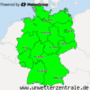
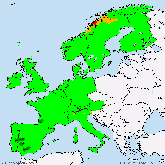
Current warnings


© M.I.L.K. 2017
M.I.L.K. - Meteorology: Information. Learning. Knowledge.
