|
|
Like this Blog
Latest blog posts in the category Allgemein
|
|
|
|

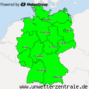
GEWITTERLAGE: Am Donnerstag sind am Nachmittag GEWITTER vorhergesagt. Diese werden von einer Okklusion (Wetterfront) ausgelöst. Zum teil können die GEWITTER ORGANISIERT (also besser strukturiert und somit auch gefährlicher) sein. Gefahren sind zum Beispiel STARKREGEN von bis zu 30l/m² aber auch HAGEL mit bis zu 3cm Durchmesser. Die meisten GEWITTER werden sich wahrscheinlich aus Südwesten heran bewegen. Besonders STARKE GEWITTER (SUPERZELLEN) können sich auch anders bewegen! Auch STURMBÖEN sind möglich, allerdings nicht so wahrscheinlich. Bei SUPERZELLENGEWITTERN gibt es auch eine im Vergleich erhöhte Gefahr vor TORNADOS.
THUNDERSTORM SITUATION: On Thursday THUNDERSTORMS are predicted in the afternoon. These will be caused by an occlusion (a weather front). Some of the THUNDERSTORMS can be ORGANIZED (so better structured and therefore more dangerous). Danger for example are STRONG RAIN up to 30l/m² but also HAIL with diameters up to 3c. Most THUNDERSTORMS will probably come from the southwest. Very STRONG THUNDERSTORMS (SUPERCELLS) can also move differently! Also STORM GUSTS are possible, however not so likely. In SUPERCELL THUNDERSTORMS there is also, compared to other THUNDERSTORMS, an increased risk of TORNADOS.
Most popular blog posts:
|
|
|
|
Sign up, to leave a comment
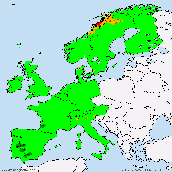
Current warnings


© M.I.L.K. 2017
M.I.L.K. - Meteorology: Information. Learning. Knowledge.


